|

Home
Roadklahoma Links:
Home
Terminus Page
OK 7 Page
Intersecting Highways:
Interstate 44
Chickasaw Turnpike
U.S. 69
U.S. 75
U.S. 77
U.S. 81
U.S. 177
U.S. 377
OK 1
OK 3
OK 7B
OK 7D
OK 48
OK 65
OK 74 (S)
OK 76
OK 99
OK 110
Latest Updates
Interstate
Highways
U.S. Highways
State Highway
Terminus Gallery
E-mail OKHighways.com
(Spam filter in effect: Use @ in place of #) |
|
OKHighways.com
Terminus Gallery |
| |
|
 |
Highway History:
OK 7 once stretched across the state of Oklahoma. Beginning at the Texas
State Line, the highway was duplexed with U.S. 62 to Lawton. From there, OK 7
ran along mostly the same route as today to OK 3 in Atoka, where today's OK 7
ends. From there, OK 7 duplexed with OK 3 to the Arkansas State Line. Another
note from that time was that OK 3 and OK 7 went straight at the U.S. 259
intersection (in the 1950s, U.S. 259 was OK 21 in this part of the state), and
followed U.S. 70 for their final 16 miles in the Sooner State.
Highway Review:
OK 7 is one of Oklahoma's longest state highways. It
begins at Interstate 44 in south Lawton, and is 4-lane, divided
highway all the way to east of Duncan, after its duplex with U.S.
81. The highway becomes four lanes once again at Interstate 35's
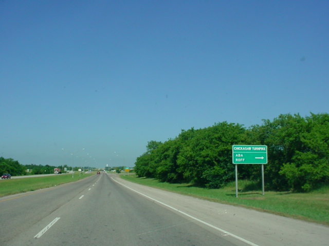
Exit 55 and provides a connection from Interstate 35 to the
Chickasaw Turnpike. This presents an ironic situation - the road
leading to the turnpike is 4-lane, divided highway, 70 mph speed
limit, while the turnpike itself is a 2-lane, 65 mph road! East
of Sulphur, OK 7 heads south with OK 1 for 10 miles before they
split. About 40 miles later, OK 7 finds its end at U.S. 69/75 in
Atoka.
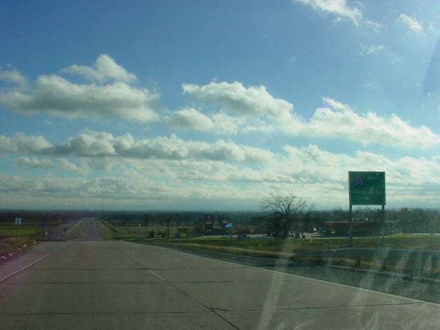
Highway Information:
Distance: 150.3 miles
Counties traveled through: Comanche, Stephens, Carter, Garvin,
Murray, Johnston, Atoka
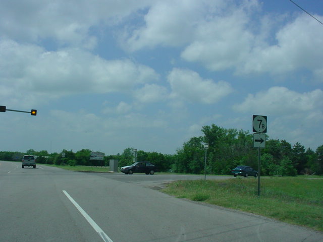
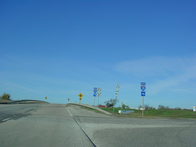
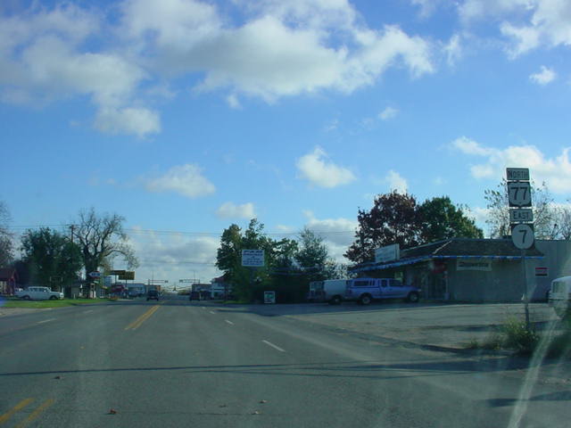
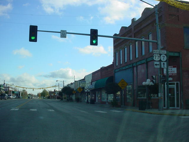
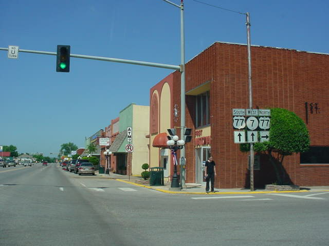
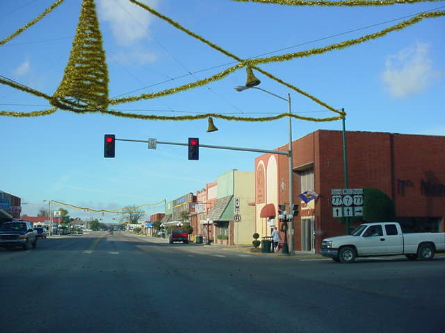
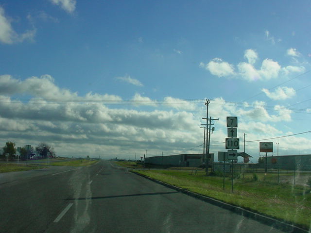
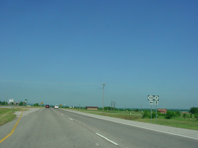
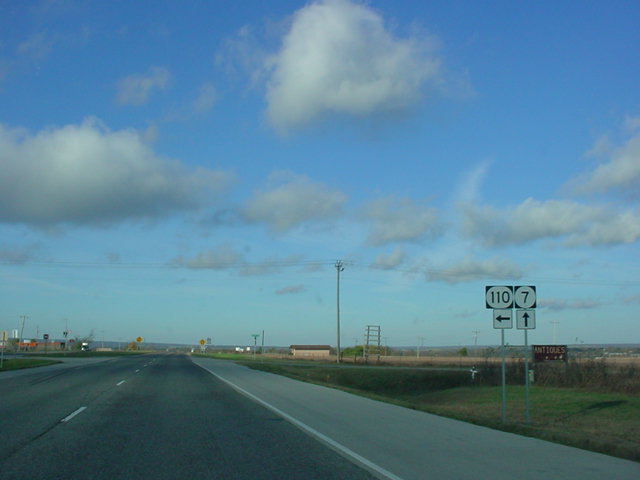
Highway intersections: Interstate 44 (Mile 0.0), OK 65 (Mile
9.6), U.S. 81 (Mile 23.6), OK 7B (Mile 30.0), U.S. 81 (Mile
30.8), OK 7B (Mile 32.3), OK 76 (Mile 58.2), OK 74 (Mile 65.3),
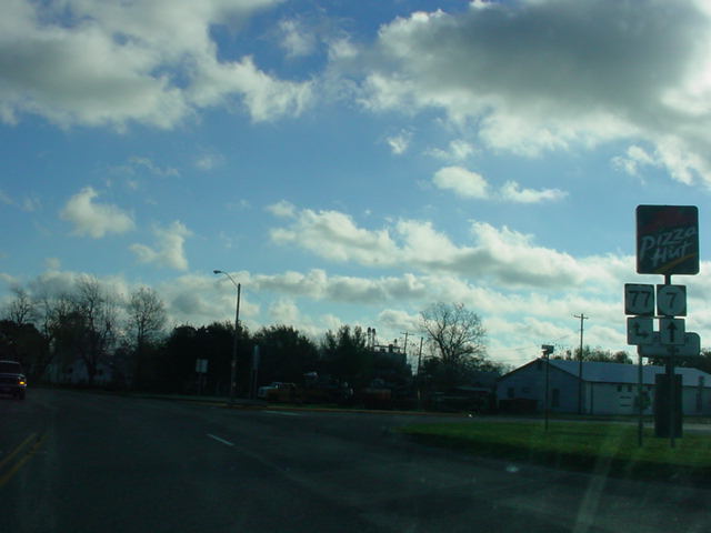
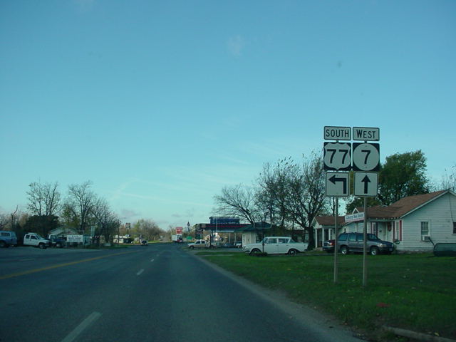
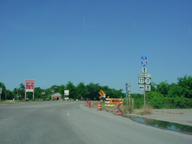
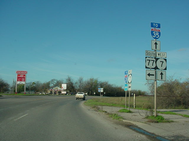
Interstate 35 (Mile 79.3), U.S. 77 (Mile 82.2), U.S. 77 (Mile
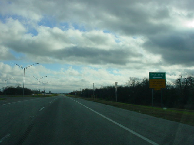
82.6), OK 110 (Mile 84.3), Chickasaw Turnpike (Mile 88.5), U.S.
177 (Mile 91.2), U.S. 177 (Mile 91.5), OK 1 (Mile 97.8), OK 1
(Mile 108.8), U.S. 377/OK 99 (Mile 119.5), U.S. 377/OK 99 (Mile
120.4), OK 7D (Mile 128.9), OK 48 (Mile 133.2), U.S. 69/U.S. 75 (Mile
150.3)
Highway duplexes: U.S. 81 (Miles 23.6-30.8, 7.2 miles), U.S. 77
(Miles 82.2-82.6, 0.4 miles), U.S. 177 (Miles 91.2-91.5, 0.3
miles), OK 1 (Miles 97.8-108.8, 11.0 miles), U.S. 377/OK 99
(Miles 119.5-120.4, 0.9 miles)
Traffic Counts:
18,600 - 2 miles E of Lawton
8,100 - 1 mile W of OK 65
7,900 - 1 mile E of OK 65
7,500 - OK 7 @ U.S. 81
17,400 - U.S. 81/OK 7 duplex
9,700 - SW Duncan
7,900 - SE Duncan
3,100 to 4,300 - OK 7B to OK 76
3,300 - OK 7 @ OK 76
1,900 - OK 7 @ OK 74
7,100 - OK 7 @ Interstate 35
10,100 - Davis
9,400 - OK 7 @ OK 110
8,400 - Sulphur
1,700 - OK 7 @ OK 1
1,300 to 1,600 - OK 1/OK 7 duplex
510 - 1 mile E of OK 1 W
310 - OK 7 @ U.S. 377/OK 99
1,900 - U.S. 377/OK 7/OK 99 multiplex
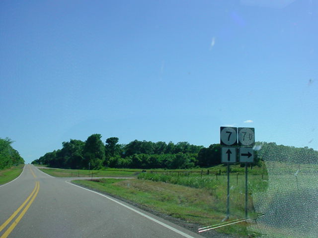
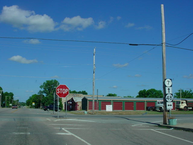
830 - OK 7 @ OK 7D
1,700 - OK 7 @ OK 48
1,900 - OK 7 @ OK 3 Bypass
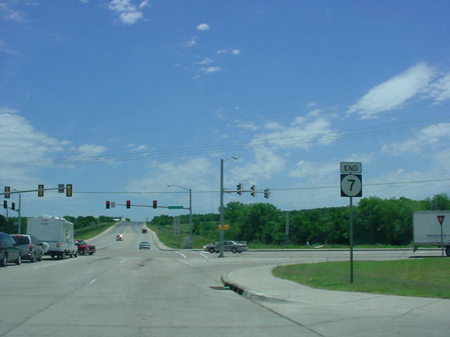
3,700 - OK 7 @ U.S. 69/U.S. 75
WESTERN
TERMINUS
Interstate 44, Lawton
 |
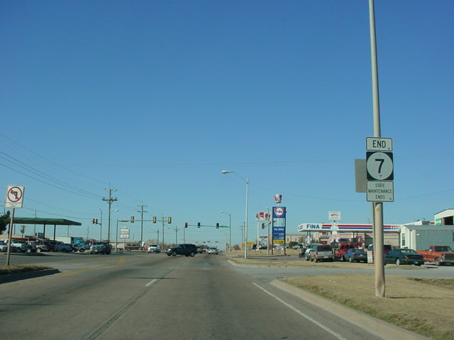
"END OK 7" and "State
Maintenance Ends" signage as OK 7
West comes to an end in Lawton. (Photo taken 12/11/03) |
 |
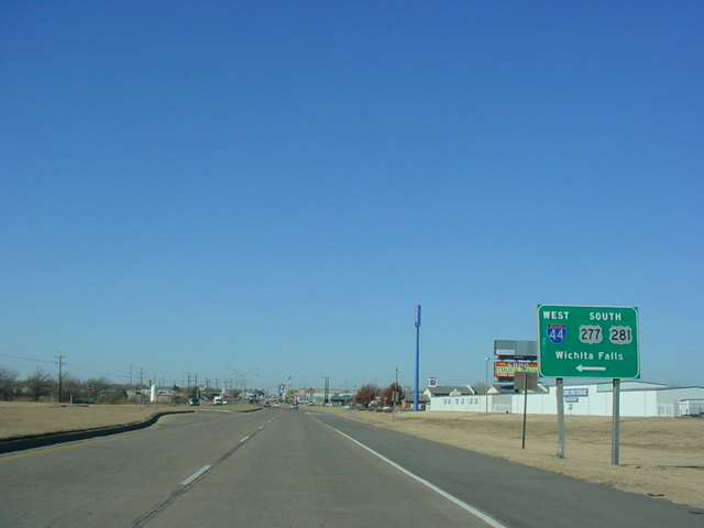
OK 7
West at Interstate 44 West/U.S. 277/U.S. 281 South.
The "END" sign is about 1/4 mile west of the interstate.
(Photo taken 12/11/03) |
 |
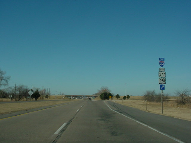
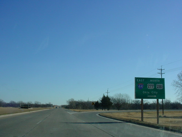
OK 7
West at Interstate 44 East/U.S. 277/U.S. 281 North.
(Photo taken 12/11/03) |
 |
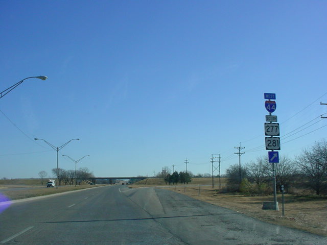
OK 7
East at Interstate 44 West/U.S. 277/U.S. 281 South.
(Photo taken 12/11/03) |
 |
OK 7
East at Interstate 44 East/U.S. 277/U.S. 281 North.
(Photo taken 12/11/03) |
 |
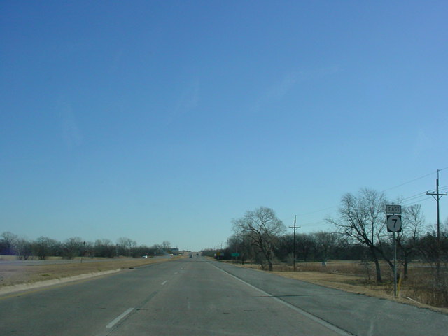
First
OK 7 East assurance
shield just east of Interstate 44.
The OK 65 junction is 9.5 miles ahead. (Photo taken
12/11/03) |
 |
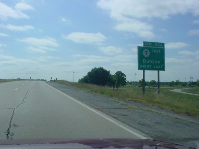
Interstate 44 West at Exit 36A
- OK 7 East - Duncan. (Photo
taken 10/11/02) |
 |
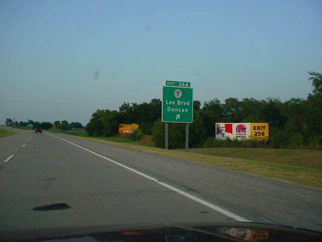
Interstate 44 East at Exit 36A
- OK 7 - Lee Blvd./Duncan.
(Photo taken 9/6/02) |
FORMER
WESTERN TERMINUS
U.S. 62, Lawton
Normally I don't
write a commentary about a terminus, but I have some historical
information on this terminus, thanks to
Mark
Adkinson (spam filter in effect, replace # with @). He sent me an
e-mail February 16, 2003, informing me of the terminus change from U.S. 62 to
Interstate 44.
He also provided some background information of the routings of
U.S. 62 and OK 7 in Lawton:
"...the
western end of OK 7 has floated around quite a bit over the last
20 years or so. At one time, it ended at the corner of Cache Rd.
and Sheridan. I didn't remember it ever going all the way to the
Fort Sill gate, but...after U.S. 62 was routed to a new alignment
just north of Cache Rd. in the 70's (not the current Rogers Lane
alignment), OK 7 was rerouted to run all the way out [on] Lee to
82nd Street, then north to the new U.S. 62 alignment."
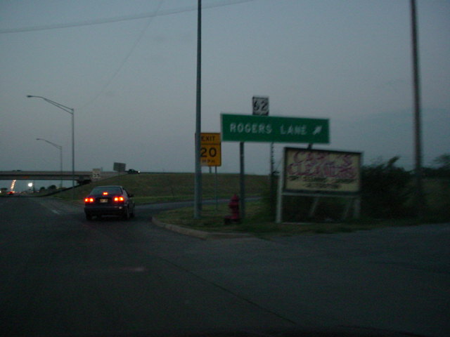
 |
The former western
terminus of OK 7 was located here, at the
entrance to the Fort Sill military base in northern
Lawton. This
ramp is the final opportunity to get off the highway
before the
road enters the base. Unlike the new western terminus,
there
is no "END" sign present here. (Photo taken
9/6/02) |
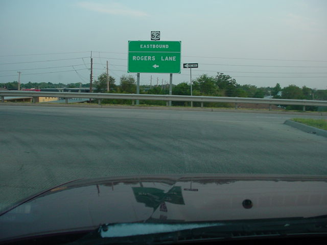
 |
This ramp is
actually the exit ramp from Sheridan Rd. south
after leaving Fort Sill. Since I didn't turn off at U.S.
62 like I
was supposed to, I had to turn around in Fort Sill. But I
was
able to get this perspective. No need to worry about that
anymore, though, as the western terminus has been
truncated
to Interstate 44. (Photo taken 9/6/02) |
OTHER
HIGHWAY PICTURES
EASTERN
TERMINUS
U.S. 69/U.S. 75, Atoka
 |
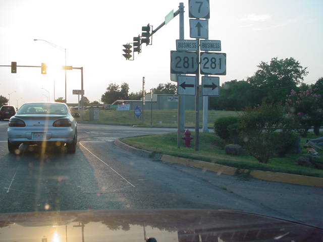
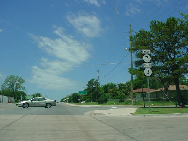
"END OK 7" sign as
OK 7 East nears its end at U.S.
69 and U.S. 75 in Atoka. This is also the eastern end of
the OK 3 Bypass. (Photo taken 5/31/04) |
 |
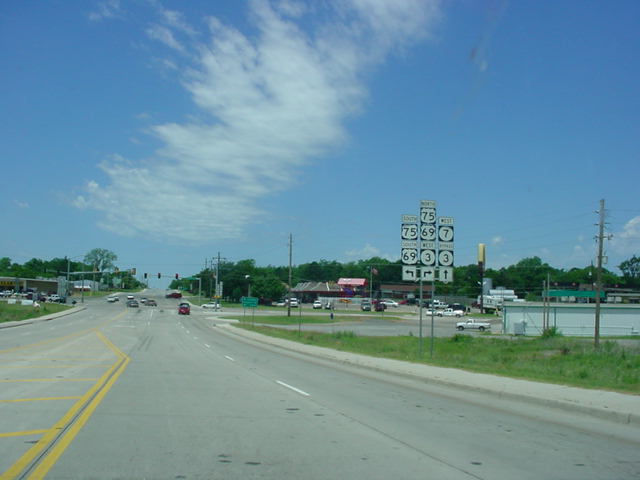
OK 7
East at U.S. 69/U.S. 75. (Photo taken 5/31/04) |
 |
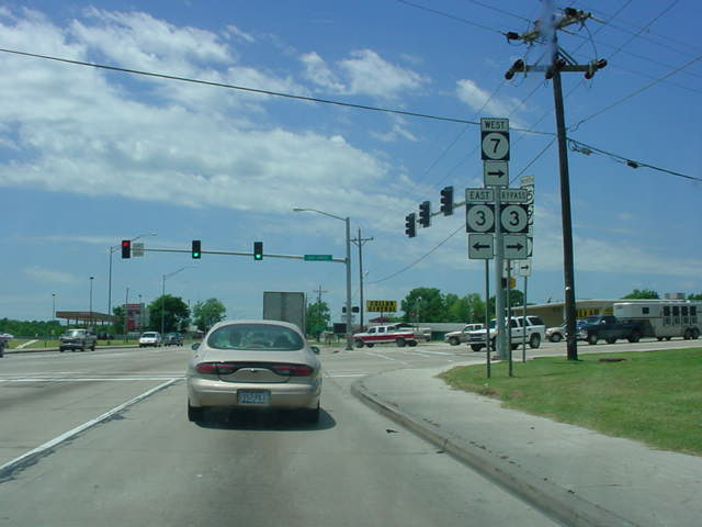
OK 7
West/OK 3 Bypass assurance shields just west
of U.S. 69/U.S. 75. The OK 3 Bypass will split from
OK 7 in 1/2 mile. (Photo taken 5/31/04) |
 |
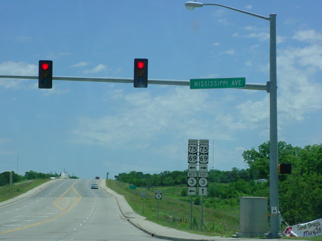
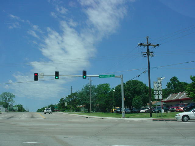
OK 3
West approaching U.S. 69/U.S. 75/OK 7 in
Atoka. OK 3 heads north with U.S. 69 and U.S. 75 for
about a mile. (Photo taken 5/31/04) |
 |
OK 3
West at U.S. 69/U.S. 75/OK 7. (Photo taken
5/31/04) |
 |
U.S.
69/U.S. 75 South/OK 3 East at OK 7 West/
OK 3 East/OK 3 Bypass. (Photo taken 5/31/04) |
|