|

Home
Roadklahoma Links:
Home
Terminus Page
OK 45 Page
Intersecting Highways:
U.S. 60
U.S. 64
U.S. 81
U.S. 281
OK 8
OK 14
OK 58 (N)
OK 132
Latest Updates
Interstate
Highways
U.S. Highways
State Highway
Terminus Gallery
E-mail OKHighways.com
(Spam filter in effect: Use @ in place of #) |
|
OKHighways.com
Terminus Gallery |
| |
|
 |
Highway History:
1953: OK 45 was less than half the distance that it is
today. It began at the same place it does today in Waynoka, but the highway then
went only as far east as OK 8 in Carmen. Current OK 45 between Helena and
Carrier was then signed as OK 38, and the rest of today's OK 45 was not signed at
that time.
1959: Same as 1953
Highway Review:
OK 45 connects the towns of Waynoka, Carmen, Helena, Goltry, and
Carrier. The highway begins duplexed with U.S. 281 for its first
12 miles, and also has duplexes with OK 8, OK 58, and OK 132.
Highway Information:
Distance: 64.7 miles
Counties traveled through: Woods, Alfalfa, Garfield
Highway intersections: U.S. 281/OK 14 (Mile 0.0), U.S. 281 (Mile
12.1), OK 8 (Mile 26.1), OK 8 (Mile 29.1), OK 58 (Mile 38.1), OK
58 (Mile 39.1), OK 132 (Mile 56.0), OK 132 (Mile 56.8), U.S.
60/U.S. 64/U.S. 81 (Mile 64.7)
Highway duplexes: U.S. 281 (Miles 0.0-12.1, 12.1 miles), OK 8
(Miles 26.1-29.1, 3.0 miles), OK 58 (Miles 38.1-39.1, 1.0 mile),
OK 132 (Miles 56.0-56.8, 0.8 mile)
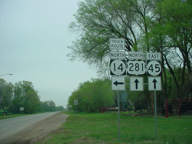
WESTERN
TERMINUS
U.S. 281/OK 14, Waynoka
 |
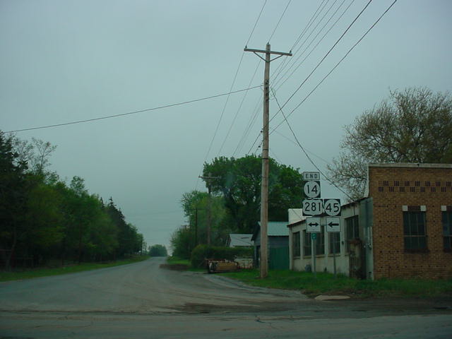
"END OK 45" sign on
U.S. 281 South/OK 45
West as OK 45 comes to an end. OK 14 North
begins to the right. (Photo taken 4/9/04) |
 |
U.S.
281 North at OK 14 North/OK 45 East.
(Photo taken 4/9/04) |
 |
"END OK 14" sign at U.S.
281/OK 45 as OK
14 South concludes. (Photo taken 4/9/04) |
OTHER
HIGHWAY PICTURES
 |
OK
45 West at U.S. 281. OK 45 duplexes
with
U.S. 281 for its western 12 miles. (Photo taken
4/9/04) |
 |
OK
8 North/OK 45 West at OK 45 West
near
Carmen. Before OK 45 was extended east in
the 1960s, this marked the eastern end of OK
45. (Photo taken 4/9/04) |
 |
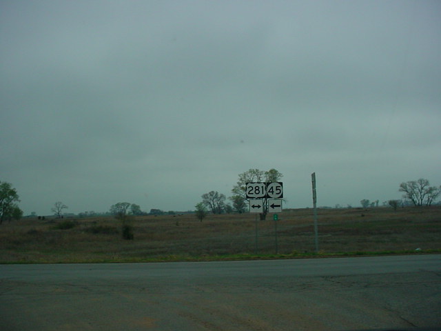
OK 45 East/OK 132
South assurance shields just
south of Carrier. The highway will split in less
than a mile. (Photo taken 7/18/03) |
 |
OK 45 East/OK 132
South at OK 45 East. OK
132 will intersect U.S. 60/U.S. 412 in five miles.
(Photo taken 7/18/03) |
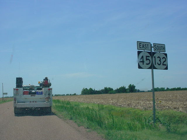
EASTERN
TERMINUS
U.S. 60/U.S.
64/U.S. 81, north of Enid
 |
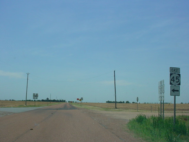
OK 45 East at U.S.
60 West/U.S.
64 East/U.S.
81 South. There is no
"END" sign at this terminus.
(Photo taken 7/18/03) |
 |
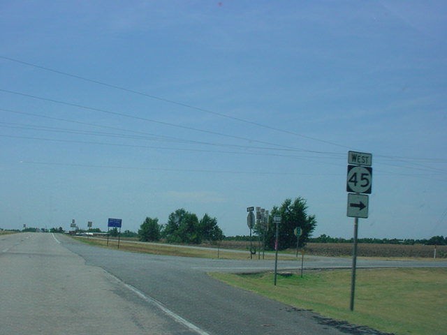
OK 45 East at U.S.
60 East/U.S. 64 West/U.S. 81
North. The three federal highways share a 15-mile
triplex from North Enid northward. (Photo taken
7/18/03) |
 |
U.S. 60 West/U.S.
64 East/U.S. 81 South at OK
45 West. U.S. 64 will leave this roadway in less
than a mile. (Photo taken 7/18/03) |
|