|

Home
Roadklahoma Links:
Home
Terminus Page
OK 50 Page
Intersecting Highways:
U.S. 64
U.S. 183
U.S. 270
U.S. 412
OK 3
OK 50A
OK 50B
Latest Updates
Interstate
Highways
U.S. Highways
State Highway
Terminus Gallery
E-mail OKHighways.com
(Spam filter in effect: Use @ in place of #) |
|
OKHighways.com
Terminus Gallery |
| |
|
 |
Highway History:
1953: OK 50 only went as far south as OK 15 (present-day U.S. 412).
Also, OK 50 duplexed with U.S. 64 for 12 miles to present-day OK 34, where the
highway then went north to the Kansas State Line.
1959: The highway had been extended southward to
U.S. 183/U.S. 270/OK 3, but still had its northern terminus at the Kansas State
Line.
Highway Review:
OK 50 connects Mooreland and Freedom. Its two spur routes, OK 50A and
OK 50B, provide access from OK 50 to the Boiling Springs and Alabaster Caverns
state parks, respectively.
Highway Information:
Distance: 37.9 miles
Counties traveled through: Woodward, Woods
Highway Intersections: U.S. 183/U.S. 270/OK 3 (Mile 0.0), U.S. 412 (Mile 8.6),
U.S. 412 (Mile 9.9), OK 50B (Mile 11.0), OK 50A (Mile 29.2), U.S. 64 (Mile 37.9)
Highway Duplexes: U.S. 412 (Miles 8.6-9.9, 1.3 miles)
SOUTHERN TERMINUS
U.S. 183/U.S. 270/OK 3, north of
Mutual
OTHER HIGHWAY PICTURES
 |
OK 50
North at U.S. 412. There
are no directional signs for
U.S. 412 from this perspective.
(Photo taken 5/6/04) |
 |
U.S. 412 East/OK 50
North at
OK 50 North in Mooreland.
(Photo taken 5/6/04) |
 |
OK 50
North at OK 50B
West. OK 50B connects to
Boiling Springs State Park.
(Photo taken 5/6/04) |
 |
OK 50
North at OK 50A East. OK
50A East connects to Alabaster
Caverns State Park. (Photo
taken 5/6/04) |
NORTHERN
TERMINUS
U.S. 64, Camp Houston
 |
"END OK 50" sign at U.S. 64 as
OK 50 North concludes. (Photo
taken 5/6/04) |
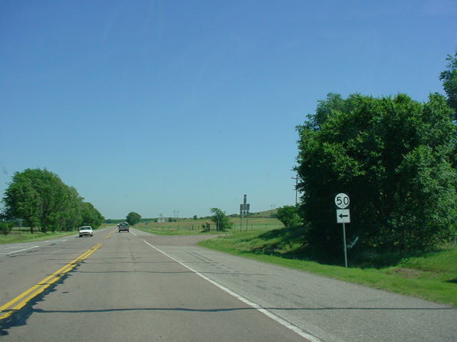
 |
OK 50
South assurance shield
as seen from U.S. 64. OK 50A
is nine miles ahead. (Photo
taken 5/6/04) |
 |
U.S.
64 West at OK 50 South.
(Photo taken 5/6/04) |
|