|

Home
Interstate 44
(H.E. Bailey Turnpike)
Interstate 44
@
OKC Highways
Interstate 44
(Turner Turnpike)
Interstate
44 @
Tulsa Highways
Interstate 44
(Will Rogers Turnpike)
Interstate
44
@
Interstate-Guide.com
Turner Turnpike @
PikePass.com
Other States'
Interstate 44 Pictures
@ OKRoads.com
Texas:
Florida Trip
Missouri:
Interstate 44 MO Guide
Delaware Trip
Fields
Trip
Interstate 44
Exit Guide
(Miles 136-218)
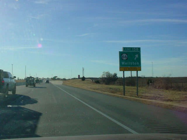
Exit 158
OK 66
Wellston
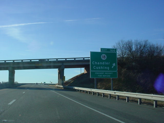
Exit 166
OK 18
Chandler
Cushing
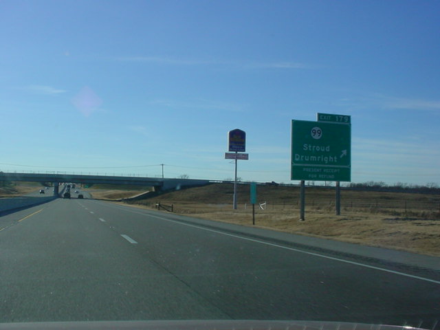
Exit 179
OK 99
Stroud
Drumright
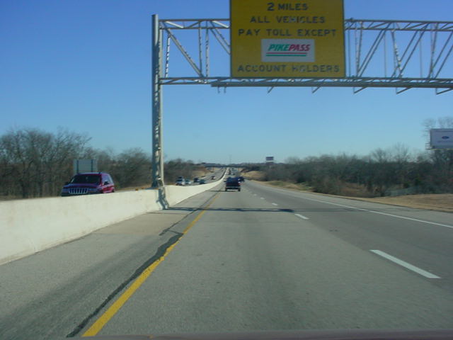
MM 182
Toll Plaza
(Cars $3.50)
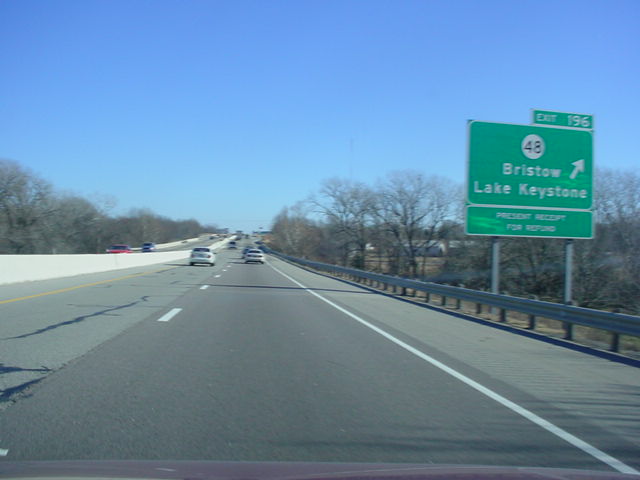
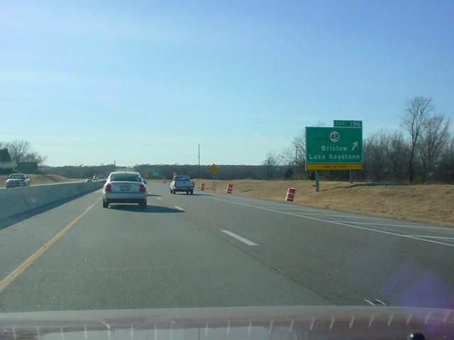
Exit 196
OK 48
Bristow
Lake Keystone
Exit 211
OK 33
Kellyville
Sapulpa (EB)
Drumright (WB)
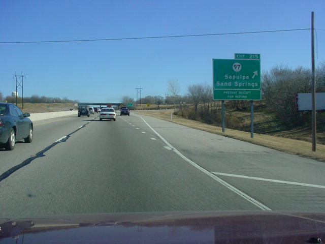
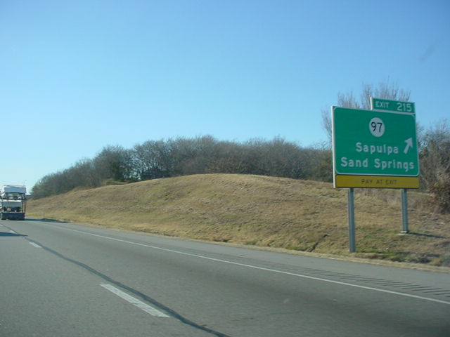
Exit 215
OK 97
Sapulpa
Sand Springs
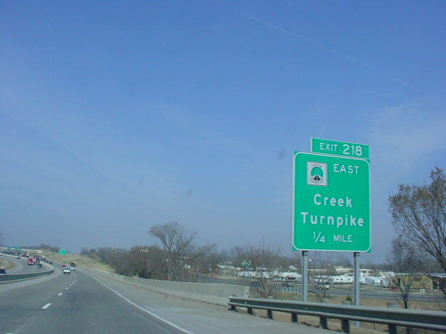
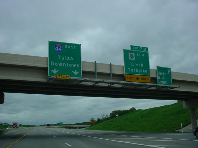
Exit 218
(EB Only)
Creek
Turnpike East
Latest Updates
Interstate Highways
U.S. Highways
State Highway
Terminus Gallery
E-mail
OKHighways.com
(Spam filter in effect: Use @ in place of #) |
|
 |
| |
|

(Miles 136-218)
(Turner Turnpike) |
Highway Review:
After leaving Interstate 35 behind at mile marker 135 (I-35's mile marker
138), the speed limit
increases to 75 as the Turner
Turnpike begins. The Turner Turnpike is the most-traveled rural turnpike in Oklahoma, connecting
its two largest cities. There are seven exits on the turnpike's
almost 90 miles of travel, with three of the exits in the final
10 miles, with Exit 158 (OK 66), Exit 166 (OK 18), Exit 179 (U.S.
377/OK 99), Exit 196 (OK 48), Exit 211 (OK 33), Exit 215 (OK 97),
and Exit 218 (Creek Turnpike East). All interchanges except for Exit 211 are trumpet
interchanges. Exit 211, built in the early 1990s, is the only
diamond interchange on the Turner Turnpike. As one begins to
approach the Tulsa area from the southwest, the speed limit falls from 75 to 65,
then to 55 as a curve is made to head over the westbound off-ramp
to OK 66 West. The speed limit goes back up to 60 after making it
through the curve, and suddenly, you have entered Tulsa.
To continue on Interstate 44 through
the Tulsa area, please see the Interstate
44 @ Tulsa Highways page.
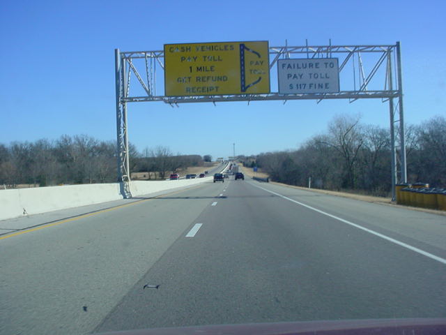
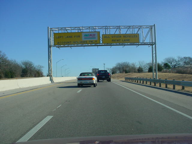
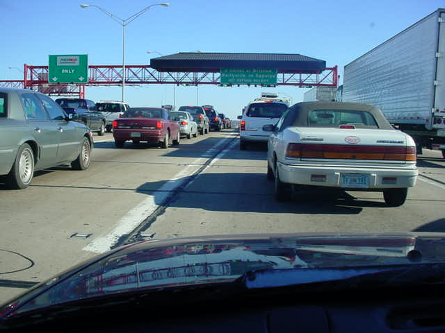
PICTURES
|